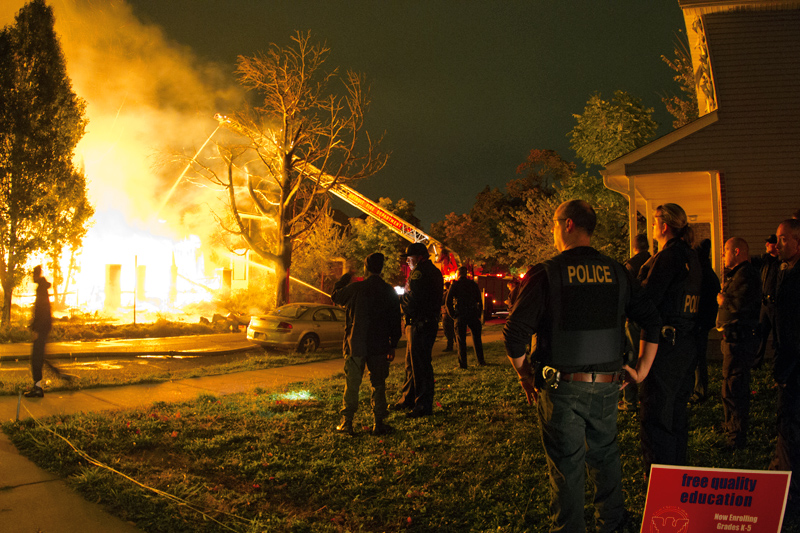
If the past four years are any indication, Detroit is likely to see more than 90 fires during the three-day Devil’s Night period beginning Thursday.
A few thousand volunteers are expected to cruise the streets to scare away potential arsonists during what has been re-dubbed Angels Night.
But in a city as large as Detroit, it’s no easy task.
Loveland Technologies, a local research and mapping group that provides detailed information about every parcel in the city, has created a map showing the potential hot spots and the areas most vulnerable to fires.
Click here to see the detailed maps and data.
The idea was to “to overlay what we think are important indicators and high risk situations and make it available for people on patrol and in the fire department and beyond to use,” said Alex Alsup of Loveland Technologies.
The information includes hot spots in each council district to make it easier for patrols.
Although a majority of Devil’s Night fires are in vacant houses, many of the blazes spread to occupied houses. Loveland analyzed occupancy data to identify areas where occupied houses are most vulnerable.
“With the latest data available, citywide, Loveland identified approximately 11,700 occupied homes adjacent to approximately 8,800 vacant publicly owned structures,” Loveland said on its site.
The city has averaged about 95 fires a year during the three-year period since 2011. Although the number of fires have decreased since the 1980s, the fires still cause serious problems for the under-resourced fire department.
In September, Loveland published an exhaustive survey of fires in 2015 to show the devastating impact on neighborhoods.
Steve Neavling
Steve Neavling lives and works in Detroit as an investigative journalist. His stories have uncovered corruption, led to arrests and reforms and prompted FBI investigations.

8 Responses to "Loveland shows areas most vulnerable to fires during Devil’s Night period"